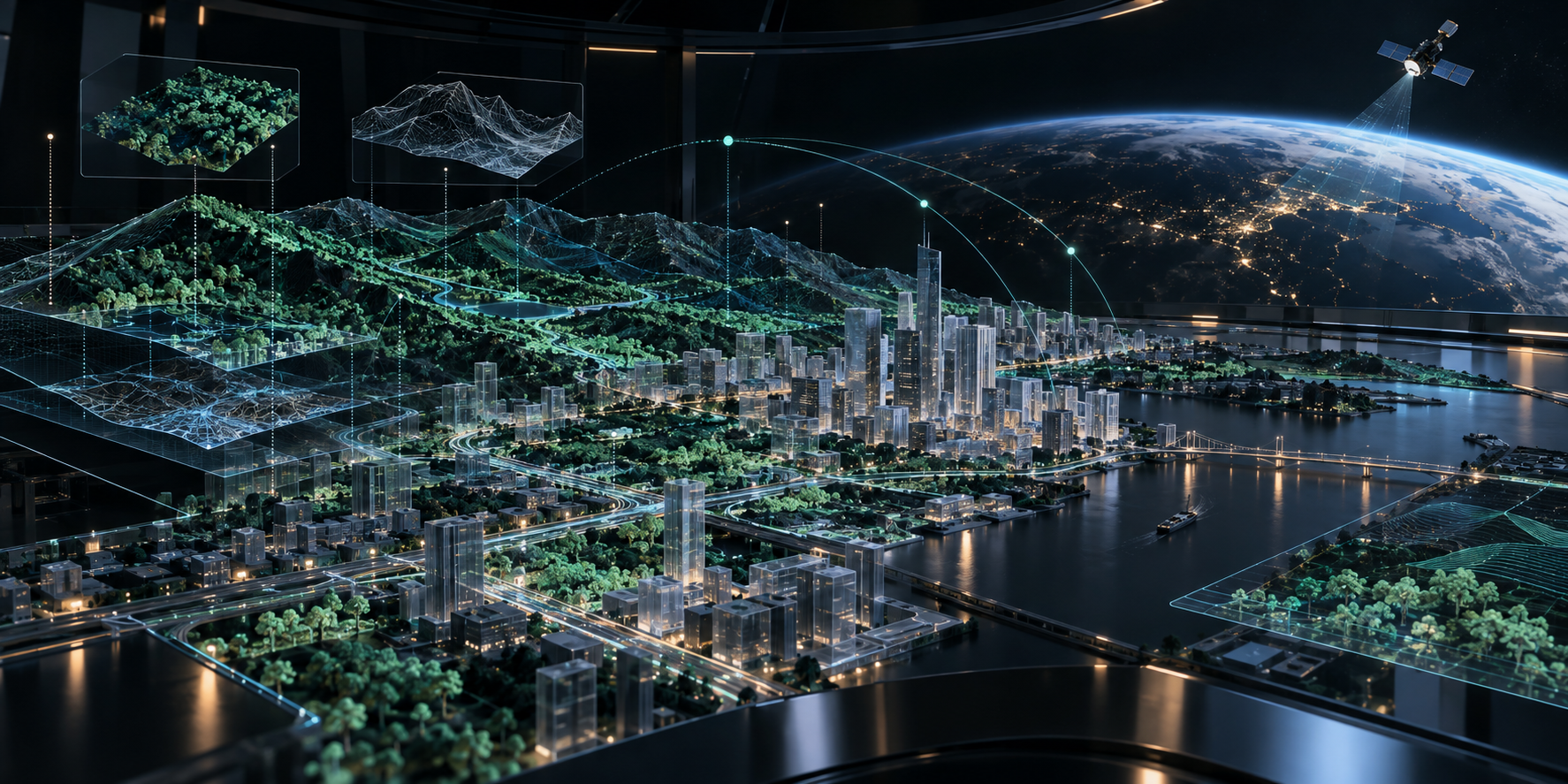
Loading Earth’s digital intelligence

We believe that world can be better place if decision makers make better decisions. And better decisions can be made only if decision makers better understand what's really going on. For such understanding better information based on better data is needed.

From Space to Better Decisions.

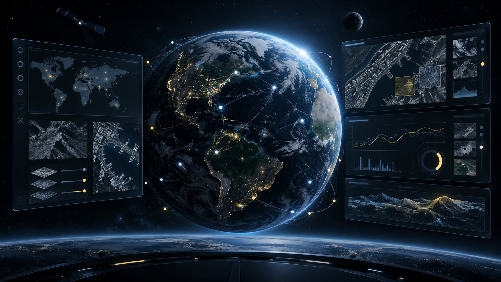
Building Earth's Digital Intelligence.

We turn Earth observation, mapping and 3D reconstruction into a living intelligence layer for decisions about the physical world.

01 Observe 02 Structure 03 Reason

Towards Earth's Digital Twin.

Products

From Space to Decisions

We turn Earth Observation data into structured geospatial intelligence for real-world decisions.

CARTOGRAPHER

From imagery to structured geospatial data.

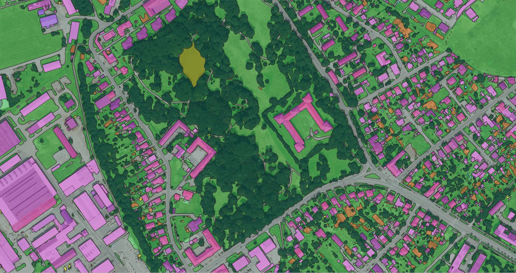
CARTOGRAPHER transforms satellite and aerial imagery into accurate, structured vector data using AI-powered mapping at scale.
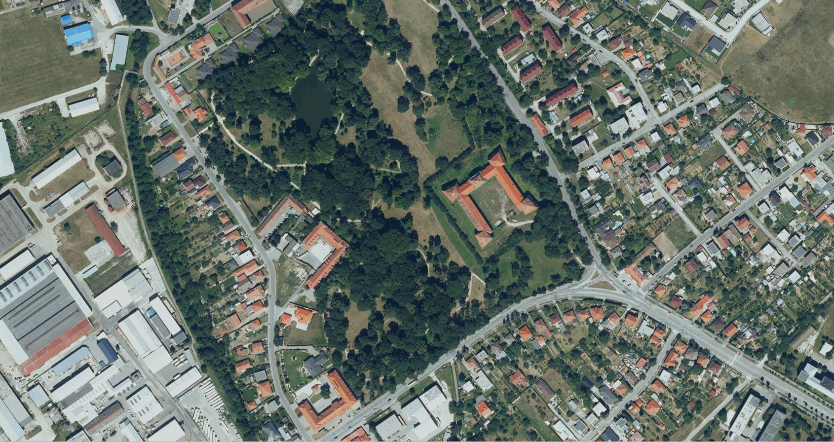
Orthophoto map
VECTORIZE Transform pixels into topologically clean, structured and editable vector maps.
NEAR REAL TIME Turn newly available imagery into usable geospatial data fast enough for operational workflows.
SELF-SERVICE Configure, run and manage AI mapping workflows directly in the platform.
QUALITY CONTROL Review, validate and refine AI-generated data before it enters production.
Key capabilities
  • Satellite & aerial imagery processing
  • Multiclass AI object and land-cover extraction
  • Topologically clean, production-ready vector data
  • Self-service workflows with integrated review, editing and quality control
Explore CARTOGRAPHER

AXIOOM

Keep geospatial registers aligned with reality.

AXIOOM compares geospatial registers with the real world, identifies discrepancies and manages their resolution. It helps authorities and infrastructure operators detect unregistered changes, missing objects and inconsistencies that can lead to lost revenue, compliance issues or outdated records.

AXIOOM digital twin intelligence platform preview
EXTRACT Automatically extract real-world objects from satellite and aerial imagery using AI-powered object detection and mapping.
COMPARE Compare the extracted reality with existing geospatial registers and reference data.
DETECT Identify missing, changed or inconsistent objects and other relevant discrepancies.
RESOLVE Filter and prioritize discrepancies, transform them into actionable tasks, manage their resolution and track progress through KPIs and dashboards.
Key capabilities
  • AI-powered extraction from satellite & aerial imagery
  • Register-to-reality comparison
  • Discrepancy detection, filtering and prioritization
  • Task management, KPI tracking and operational dashboards

Applications include illegal building detection, property-tax control and geospatial register verification.

COMING SOON

Impact

Turn mapping efficiency into business impact.

CARTOGRAPHER can significantly increase geospatial production capacity, reduce manual work and lower mapping costs. We are now looking for enterprise organizations ready to validate that impact on real production workflows.

Open call

Could CARTOGRAPHER transform your production workflow?

We are looking for organizations with substantial geospatial production workloads, measurable bottlenecks and a clear opportunity to increase efficiency at scale.

Who we are looking for
  • Substantial geospatial production workloads
  • Measurable bottlenecks in the current workflow
  • A clear opportunity to increase efficiency at scale
Apply for Founder Cohort 01

FOUNDER COHORT 01

Founder Cohort 01 is open for the next 30 days. We are selecting the first 3 enterprise organizations worldwide to work directly with our founder and core CARTOGRAPHER team.

Together, we will identify a high-impact production workflow, quantify its bottlenecks and economics, and validate how CARTOGRAPHER can improve it.

WORKFLOW ANALYSISUnderstand the existing process, workload, bottlenecks and backlog.
BUSINESS CASEQuantify production capacity, human effort and cost.
PRODUCTION VALIDATIONValidate CARTOGRAPHER on a real enterprise workflow using agreed success criteria.
ENTERPRISE DEPLOYMENTDefine the technical and commercial path to production.
3ENTERPRISE ORGANIZATIONSSelected worldwide.
30 DAYSAPPLICATION WINDOWFounder Cohort 01 is open for a limited time.
DIRECTFOUNDER ACCESSWork directly with the founder and core CARTOGRAPHER team.
PRODUCTIONREAL WORKFLOWSFocused on measurable operational and business impact.

R&D

Research drives everything we build.

We conduct research in Earth Observation, WebGIS, geospatial AI, Digital Twins and High Performance Computing — and turn its results into production-ready technology. Our R&D is strengthened through projects and collaboration with the European Space Agency and European research programmes.

ESA - European Space Agency Research partner · European Space Agency
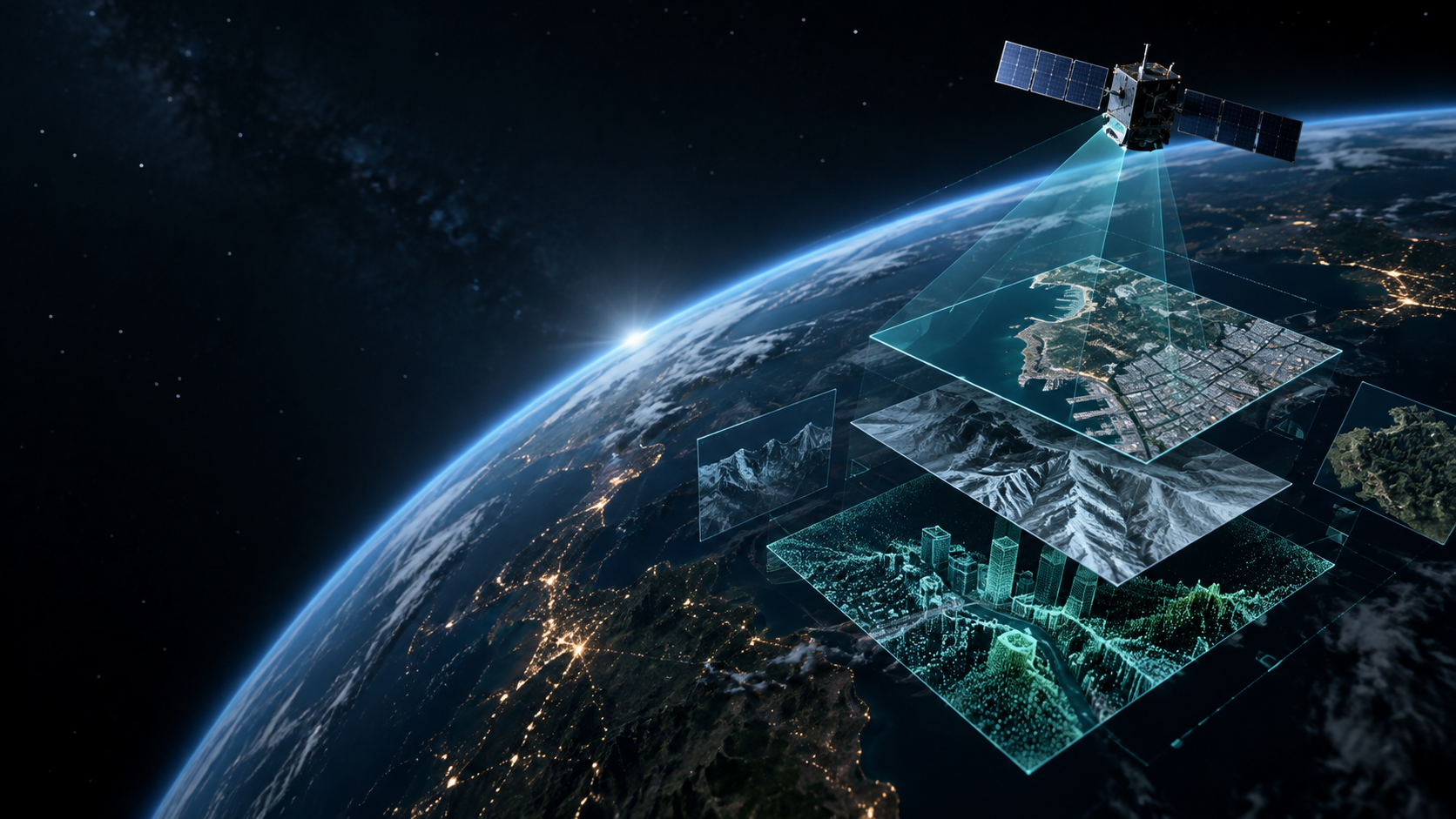
Earth observation research layers

From pixels to intelligence

We develop AI technologies that transform satellite, aerial and other geospatial data into structured information about the physical world.

Living digital twin simulation research

From geospatial data to Digital Twins

We develop 3D reconstruction, WebGIS and spatial data technologies that form the foundations of Digital Twins of real-world environments.

EARTH OBSERVATION

Satellite & aerial Earth Observation

We work with satellite and aerial imagery and other geospatial data to observe, map and understand the Earth at scale.

GEOAI & FOUNDATION MODELS

AI that understands geospatial data

We develop deep learning, computer vision, foundation models and GeoAI methods for automated mapping and geospatial intelligence.

WEBGIS & DIGITAL TWINS

Building the spatial foundation for Digital Twins

We develop WebGIS, 3D reconstruction and geospatial technologies for integrating, visualizing and interacting with complex models of the physical world.

RESEARCH TO PRODUCTION

Built to leave the lab

Our R&D spans early-stage research through to scalable technologies and real-world applications.

Company

Building Earth’s Digital Intelligence.

GEODETICCA VISION is a GeoAI and Space company developing technologies that transform Earth Observation data into structured geospatial intelligence and better decisions.

Get in touch

WHO WE ARE

GeoAI & Space

We combine geospatial expertise, artificial intelligence, Earth Observation and software engineering in one multidisciplinary team.

WHAT WE BUILD

From data to intelligence

We build products and technologies that transform observations of the physical world into structured data, intelligence and operational workflows.

HOW WE INNOVATE

Research at the core

Our products grow from research in GeoAI, Earth Observation, foundation models, 3D reconstruction, WebGIS and Digital Twins.

HOW WE THINK

Global technology. Real-world impact.

We develop scalable technology for challenges ranging from local infrastructure and cities to national mapping and global Earth Observation.

Contact

Talk to us

Tell us the territory and the decision you are trying to make. We will tell you what is possible with today's data — and what it would take to get the rest.

GEODETICCA VISION, S.R.O. Reach us